ReImagining America: The Maps of Lewis and Clark
The Lewis County Historical Society, the Meriwether Lewis Chapter of the Lewis and Clark Trail Heritage Foundation and the Friends of the Library will soon host an exhibit designed to help Americans understand how information-gathering and mapping by the 1803-06 Lewis and Clark Expedition created a new portrait of our country that led to the nation’s western expansion.
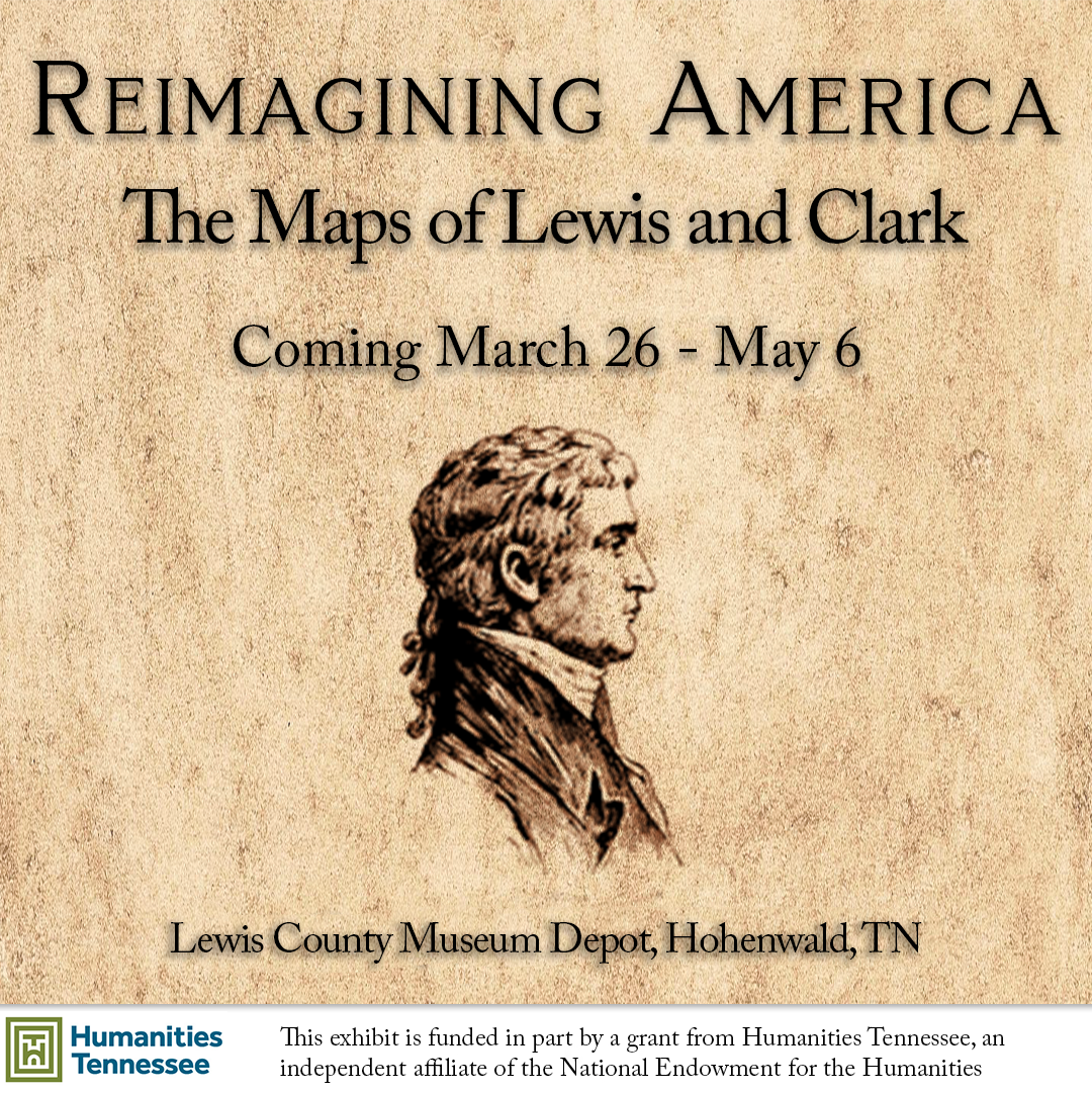
“REIMAGINING AMERICA:THE MAPS OF LEWIS AND CLARK will be open to the public at the Hohenwald historic Depot from March 26 to May 6, 10 a.m. to 4 p.m. Admission is FREE.
The traveling exhibit is designed for people who enjoy history or want to learn more about map-making and exploration. It is also meant to be an educational springboard for schools and other organizations.
The exhibit explains how the Lewis and Clark Expedition’s findings transformed Euro-American understandings of North America in the early 1800’s. It also investigates methods used by the explorers to gather and process that information, including preexisting maps, navigational scientific equipment that was considered cutting edge for its time, and intelligence gained from Native Americans whom the explorers interacted with.
“Reimagining America” was created by the national nonprofit Lewis and Clark Trail Heritage Foundation to increase awareness of the story of the nation’s geographic understanding of itself and the different cultural viewpoints and strategies that enabled Lewis and Clark to map and share their data. Hohenwald is one of many destinations for the fascinating traveling exhibit and has the distinction of being the only location east of the Mississippi River.
Consisting of 16 panels, each seven feet tall and three feet wide, extending 60 feet, the exhibit focuses on:
▪THE MAPS OF LEWIS AND CLARK. In 1803, Native people knew the West, but Americans could only speculate.
▪ THE RACE TO MAP THE WEST. British cartographers had drawn ahead, and America needed to catch up. Thomas Jefferson had an answer
▪ HOW DID THEY FIND THEIR WAY? Lewis and Clark started by collecting information from people who had been there before.
▪ MAKING MAPS THE NATIVE WAY. Native cartographic traditions reveal an older geography.
▪ MAKING MAPS THE PRACTICAL WAY: DEAD RECKONING. Low-tech methods filled in the details.
▪ REVISING THE CONTINENT. Their maps changed the future of America.
The Lewis and Clark Heritage Foundation (LCHTF), founded in 1969, serves to preserve, promote and teach the diverse heritage of the Lewis and Clark expedition for all people through scholarship, education and preservation, as well as collaboration with the descendants of tribes encountered by the explorers. Find out more about the organization and how to join at lewisandclark.org. Contact: Sarah Cawley, executive director@lewisandclark.org. Information about membership in the local LCTHF chapter, the Meriwether Lewis Chapter, may be obtained from Crystal Nash at the Lewis County Library.
Funding for the exhibit is provided by Summertown Metals, Peoples Bank, Keith Vanstone, Mayor Danny McKnight, and Janet Turner. This project “Reimagining America-Maps of Lewis and Clark” is also funded in part by a grant from Humanities Tennessee, an independent affiliate of the National Endowment for the Humanities. Also many volunteers are working to ensure the success of the exhibit.